How to Get Country Shapes for Usage in Python Maps
A comparison of different sources providing country shapes and administrative boundaries that can be used to create maps using Python.
Hello! I am an engineer with a passion for data and beautiful maps. In this space I share my journey, learn how to use new tools, and showcase the work I am most proud of.
This still is a very young website, as it is also a new area for me. Rather than aiming to be an authorative resource, it is an attempt to document my learning process, where you can follow along as I try different things.
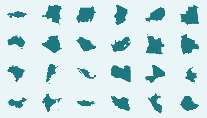
A comparison of different sources providing country shapes and administrative boundaries that can be used to create maps using Python.
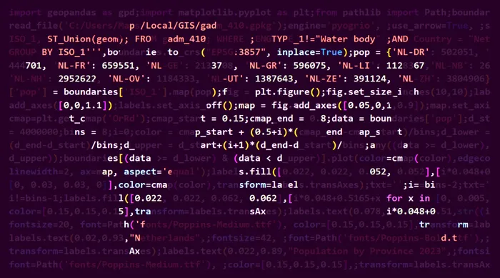
This article describes how to use Python and configure it as an alternative for GIS software, to start creating maps.
You can follow me on Instagram, Threads, and X. If you are interested to receive an update whenever I post new content, leave your e-mail address below.